A Bit of History
The ancient Sumerians (some 4000 years ago) used a base 12 system instead of base 10. This seems somewhat natural as 12 is the number of finger segments (three for each finger) that one can count with one's thumb (4 fingers × 3 segments = 12). The moon goes through one full cycle of phases in about 29.5 days. 365 days/29.5 days is a little over 12. Thus a year was split into 12 segments.
The ancient Babylonians inherited this Sumerian twelve concept and marked the passage of the year with 12 constellations of the Zodiac. They also used a base 60 system and divided a circle into 360 degrees (the ancient Egyptians, who heavily influenced the Babylonians, also had a 360 day year). Being base 60, each degree could be subdivided into 60 subsegments (minutes), and those 60 subsegments further subdivided into 60 (seconds) and so on. This method, in concept, is essentially identical to our modern method of base 10 decimals.
The ancient Babylonians were excellent mathematicians and astronomers (and mathematics and astronomy were intimately tied back then). Their influence permeated the ancient world and still is in prominent effect today. Thus, today's youth are still taught about 360 degrees in a circle. And, our coordinate system, which was very much tied to astronomical observations originally, uses the minute and second notation. The only difference today is that instead of subdivided seconds into sixtieths (as was done historically), we use the base 10 decimal notation to subdivide seconds.
Prior to 1884 there were several landmarks from which longitude was measured. Unlike the measurement of latitude, longitude was very difficult to measure while navigating. Errors were made, sometimes with tragic results. In response to one such tragic result England passed the Longitude Act – a contest for a practicable method of determining longitude at sea with a hefty cash reward. John Harrison is credited by history as being the person to do so with his inventions of very precise “chronometers” that weren't based on pendulums (pendulums don't keep good time at sea). The story, however, is a remarkable one of prejudice, politics, and science. Harrison was never awarded the prize by the Board of Longitude set up by the act – only through direct intervention from parliament was he awarded money for his efforts.
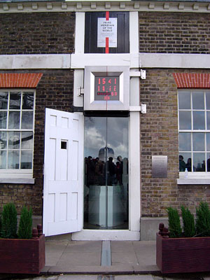
In 1884, U.S. President Arthur organized the International Meridian Conference, attended by delegates from 25 nations. Partly because of John Harrison being the first to come up with a practicable method of determining longitude at sea, over two thirds of sea freighters used Greenwich as the reference point for longitude. This carried over to a vote by the conference establishing Greenwich as the reference point of 0 longitude.